Forbury Park · an independent concept

South Dunedin has a flooding problem.

Independent concept. No council endorsement implied. Not an approved design or flood prediction.

Skip to the calculator

A partnership pathway for South Dunedin

We seek Council backing for a pilot and an exceptional RIF grant through Kānoa. Siphonic Systems would lead the application. Eligibility and any stormwater exception remain unconfirmed.

Contact us
About this view

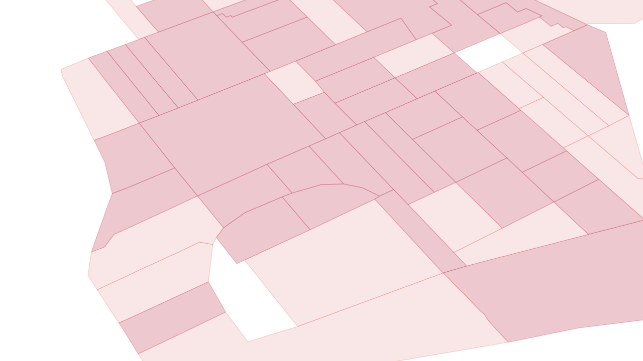
Light red: High · deeper red: Very High present-day building risk.

ORC · Rainfall-flood risk to buildings. Only High and Very High shown. Not flood extent or water depth.

Independent concept. No council endorsement implied. Not an approved design or flood prediction.

  1. Neighbourhood-scale areas classified as high or very high present-day rainfall-flood risk to buildings.

    South Dunedin has a flooding problem.

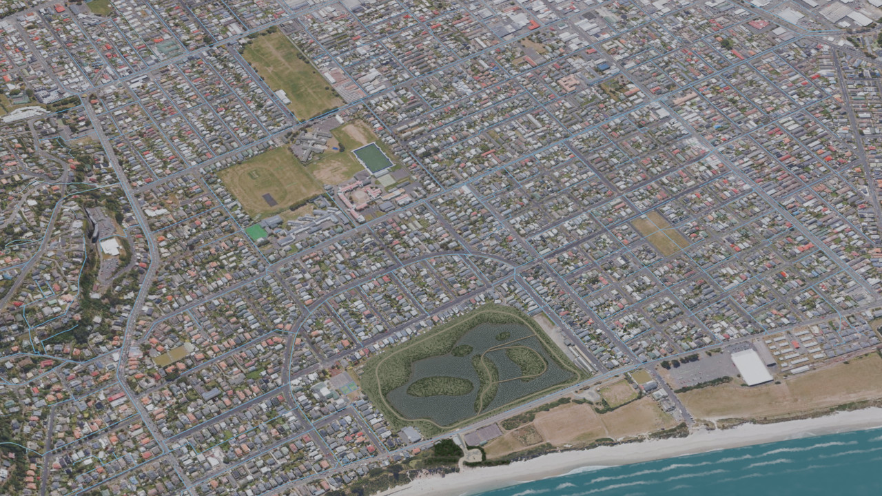
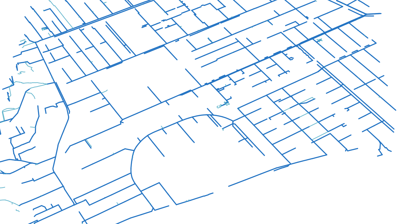
  2. Existing mapped stormwater network across South Dunedin.

    The existing drainage just needs some help.

    Explore how wetland storage could connect with the mapped drains and watercourses.

    Blue: mapped mains · lighter blue: drains and watercourses · display width is cartographic

  3. South Dunedin network view with named storage locations and historical inlet routes.

    Storage is already part of the discussion.

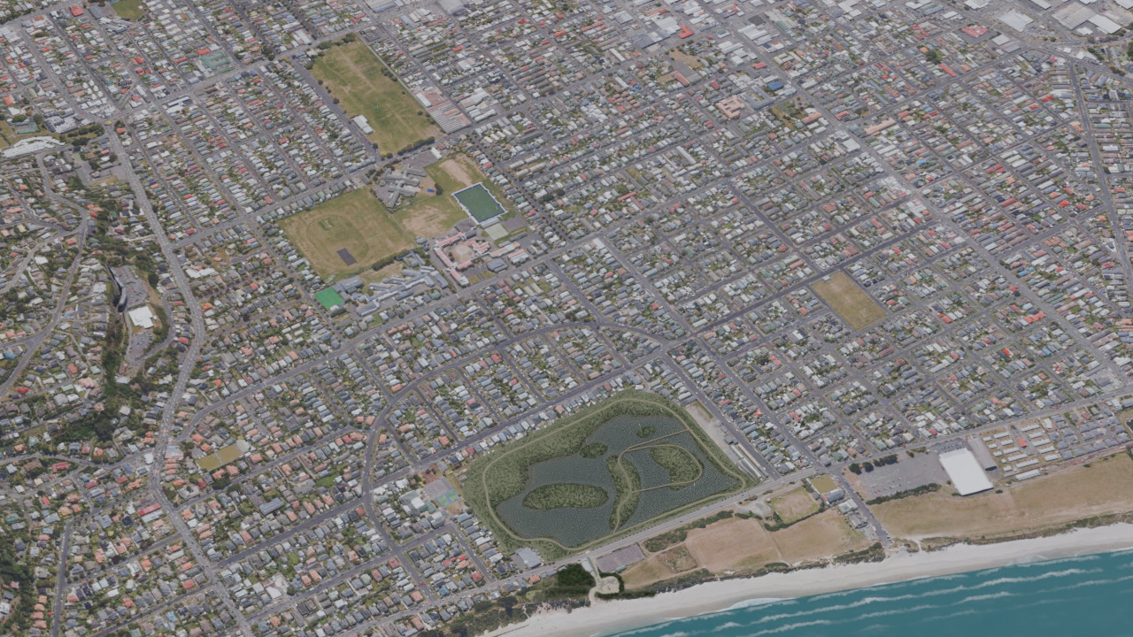
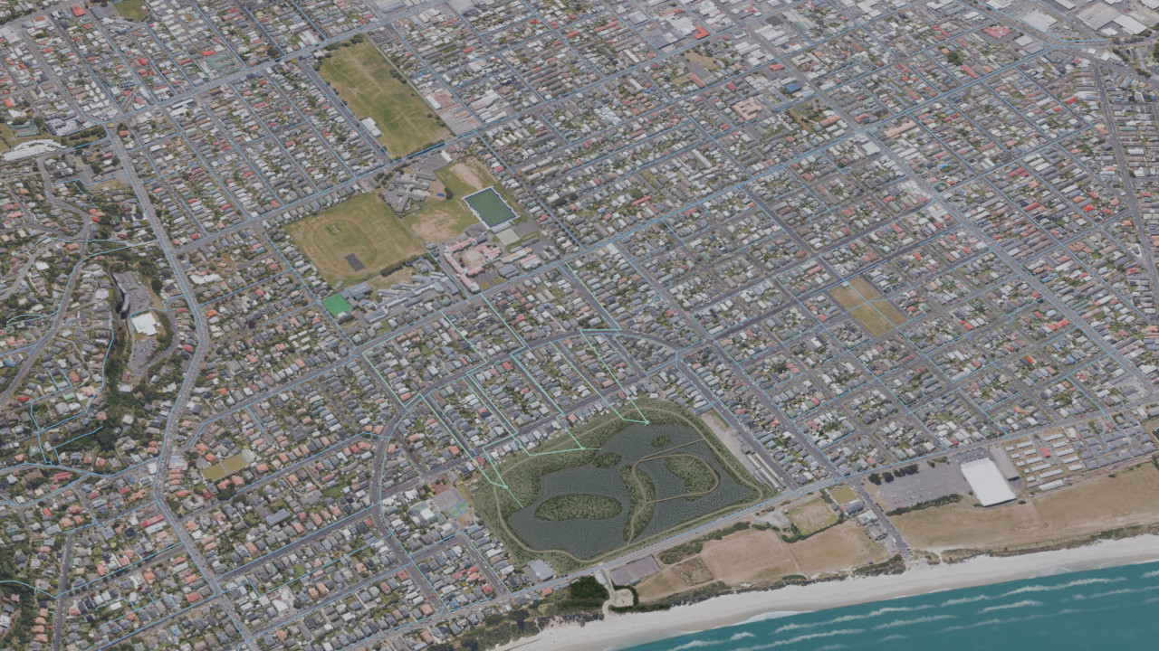
  4. Forbury wetland and the nearby coast within the South Dunedin setting.

    But that water needs somewhere to go.

    Explore how a Siphonic Transfer Unit could transfer water from wetland storage towards the coast.

    Independent concept · a suitable route and receiving outlet remain to be established

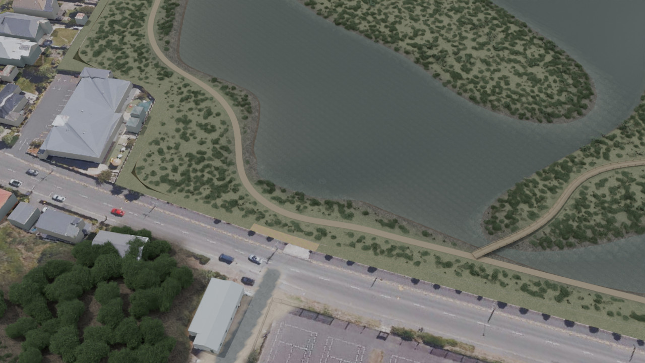
  5. Approach toward the Forbury wetland and underwater intake.

    Forbury Park is the perfect location for the pilot.

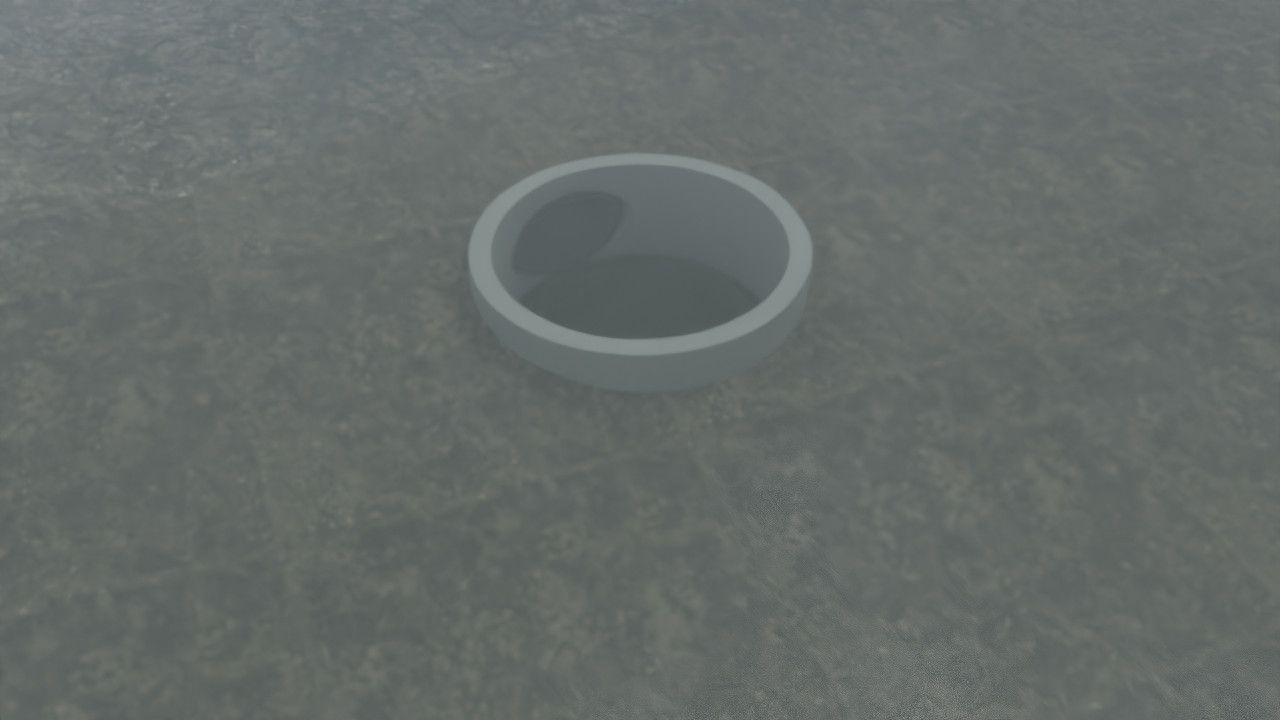
  6. Single submerged intake riser seen through the wetland water.

    Water enters below the surface.

    Water enters a submerged intake, then travels through a closed pipe towards the coast.

    Illustrative intake arrangement · subject to site-specific design

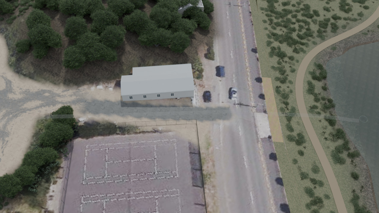
  7. Departure from the intake toward the illustrative route.

    From wetland storage towards the coast.

    A closed buried pipe links the intake, the high-point unit and the receiving water.

    Underground route · illustrative alignment, subject to survey and design

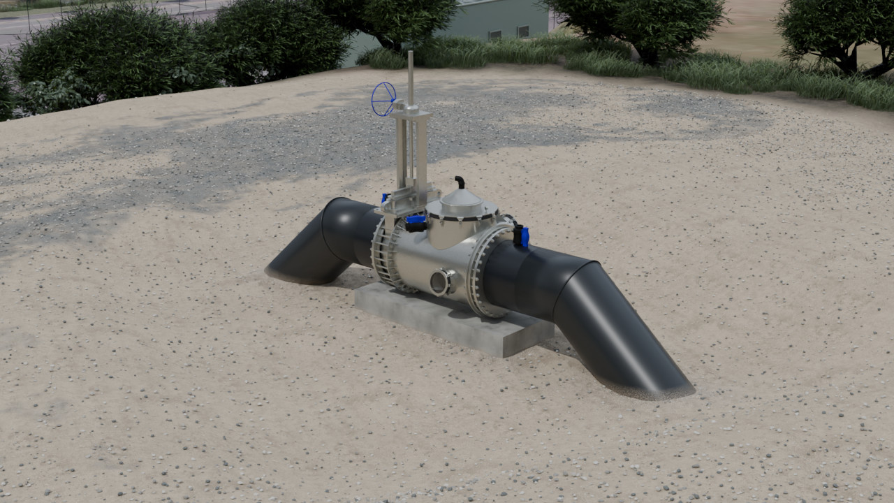
  8. 1000 mm Siphonic Transfer Unit with black PE connections on its slab.

    The power of siphonic transfer creates storm resilience.

    The hydraulic primer keeps the pipe primed. A lower receiving water level drives the flow.

    1000 mm Siphonic Transfer Unit · illustrative installation · no grid electricity required for normal operation

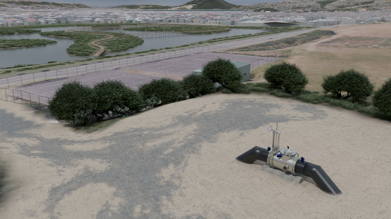
  9. Concept illustration showing the wetland before drawdown.Normal → lower · illustrative states, not a predicted rateNormal water levelIllustrative lower level

    Use low tide. Make room for the storm.

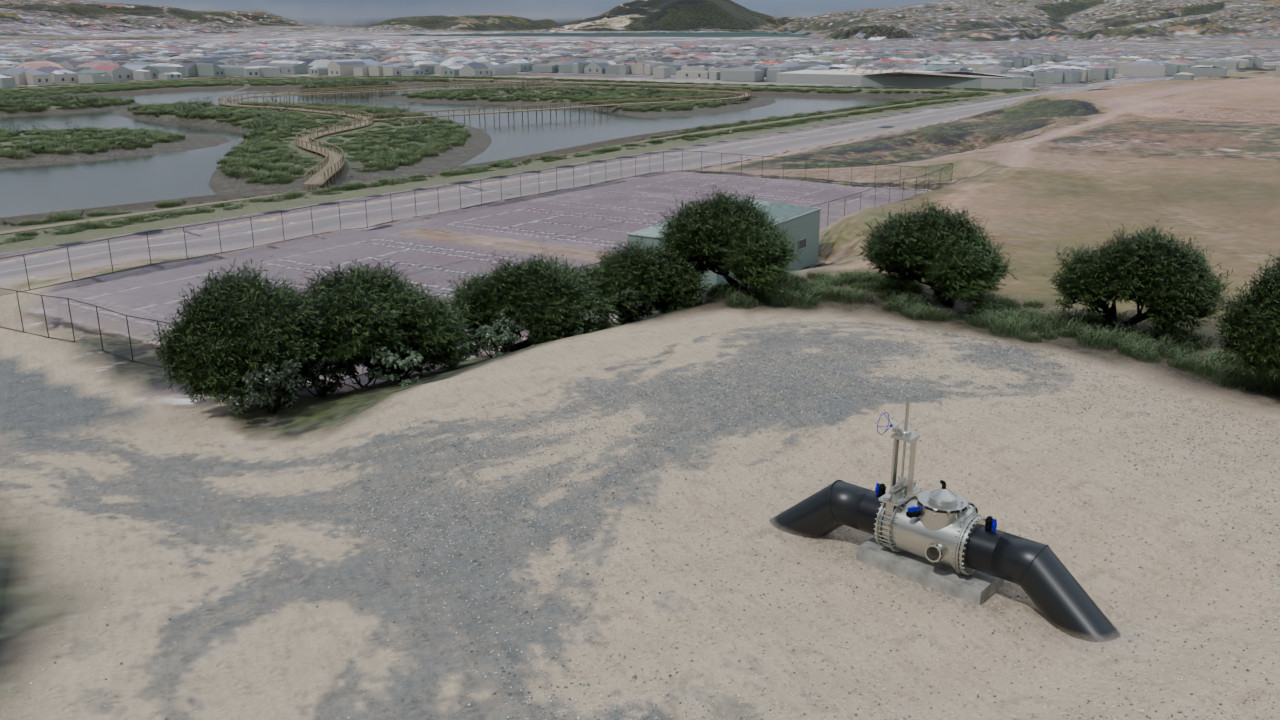
    With suitable receiving levels, lowering the wetland could create more space for incoming runoff.

    Normal → lower · illustrative states, not a predicted rate

  10. Concept illustrations comparing the wetland before drawdown and at a lower water level.Screening estimates · not a flood forecast or engineered designNormal water levelIllustrative lower level

    A more resilient future for South Dunedin.

    An independent storm-resilience concept for discussion.

    Screening estimates · not a flood forecast or engineered design

Numbers

The numbers are hard to ignore.

Explore how rainfall depth, retained rainfall and pipe assumptions affect volume and continuous-flow hours over the 11.76 ha Forbury property footprint. This is an example area, not a surveyed contributing catchment.

Explore the transfer estimate.

Set the storm depth, prepared storage and route assumptions to compare screened transfer time with the selected water volume.

Illustrative engineering cross-section: wetland, intake wet well, Siphonic Transfer Unit primer and manifold at the route crest, and submerged coastal outfallA conceptual intake wet well feeds straight, butt-fused black HDPE runs through the route high point. The outlet ends as a short straight open bore, fully submerged beneath the outlet water surface. The selected water-level difference is measured between water surfaces, not from the crest. Terrain, well arrangement, burial and seabed are illustrative, not surveyed. Rainfall changes the calculated volume, not a simulated wetland level.Crest liftWater-level difference · 2 m

Hydraulic dimensions

Water-level difference · 2 mSource water surfaceOutlet water surfaceDrives flow between the two water surfaces

Crest liftSiphonic Transfer Unit · 1000 mmSeparate route and vacuum feasibility check

Follow the closed pipe from the intake to the Siphonic Transfer Unit at the route high point, then to the submerged outlet. The hydraulic primer maintains prime. The difference between water surfaces drives transfer.Concept arrangement — not to scale. Terrain, seabed and pipe burial are not surveyed. Rainfall volume is not a simulated wetland depth. Receiving levels require site and tidal assessment.
South Dunedin storm transfer scenario controls
Storm event200 mm over 11.76 ha
mm

Total storm depth applied over the site footprint for this first-pass screen.

mm

Rainfall-equivalent depth retained across the 11.76 ha property footprint, subtracted from storm depth. Not a wetland water depth or measured infiltration rate. Limited to the entered rainfall.

Water to move200 mm23.5 ML across the site footprint
Hydraulic setup controlsConcept hydraulic setup
mm

Nominal outside diameter for the screened PE pipe.

m

Approximate pipe run from Forbury Park storage to the coastal outfall screen.

m

Water-level difference between stored water and discharge.

South Dunedin storm transfer screening results

Screened flow: 1,079 L/s, 1.78 m/s. Storm water to move: 23.5 ML. Hours of continuous flow: 6.1 h.

Screened flow1,079 L/sPipe velocity 1.78 m/s
Storm water to move23.5 ML
Hours of continuous flow6.1 hAssumes the displayed flow continues for the full period. This is not elapsed storm-drainage time and does not model changing tide or wetland levels.
Read the Engineering Reference

Sources

Citations.

A compact public source record for the numbered citations used on this briefing page.

CitationsPublic source recordOpen the numbered source list used by the briefing.
  1. 1
    South Dunedin flood alleviation short-term options

    Dunedin City Council · 2025-01-28

  2. 2
    Next steps toward future shape of South Dunedin

    Otago Regional Council · 2025-09

  3. 3
  4. 4
    Making an application for resource consent

    Ministry for the Environment

  5. 5
  6. 6
  7. 7
    South Dunedin Future programme

    Dunedin City Council

  8. 8
  9. 9
  10. 10

In the field

Already working on New Zealand farms.

The same system is installed and running at Morelands and Narbey. South Dunedin would be its first urban stormwater site — screened here before any funding or build commitment.


InstallationsMorelands Farm
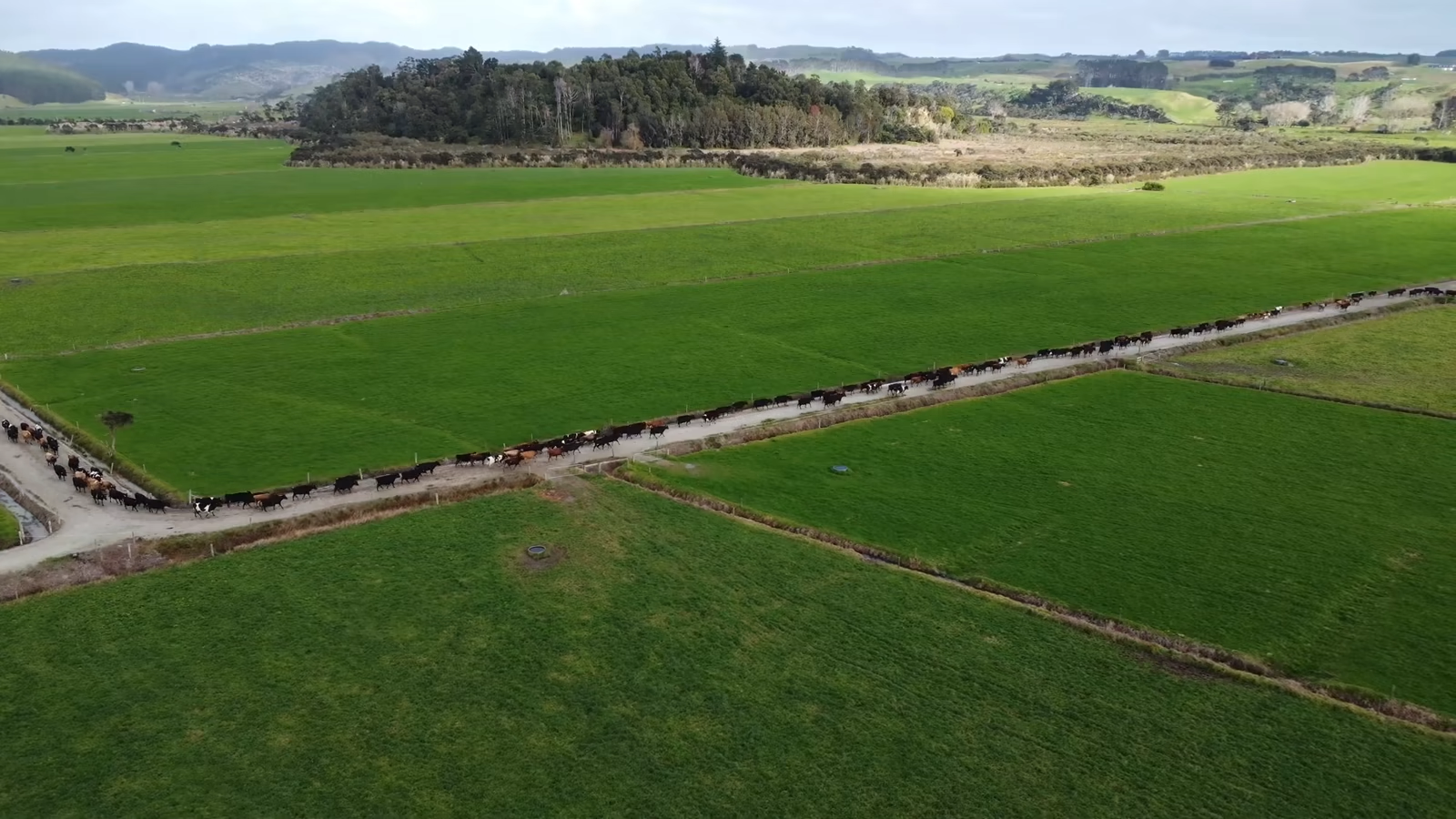
Aerial view of the Morelands pasture and open drainage route, with cattle along the channel
Play videoStill frame · Morelands field film

Morelands Farm

What changed when the water table came down.

Figures supplied by Morelands Farm

  1. 225 mm
    lower resting groundwater table

    The resting level, measured in the ground — not a storm response.

  2. 400 mm
    lower open-drain level

    Almost half a metre lower in the open drains.

InstallationsNarbey Farm
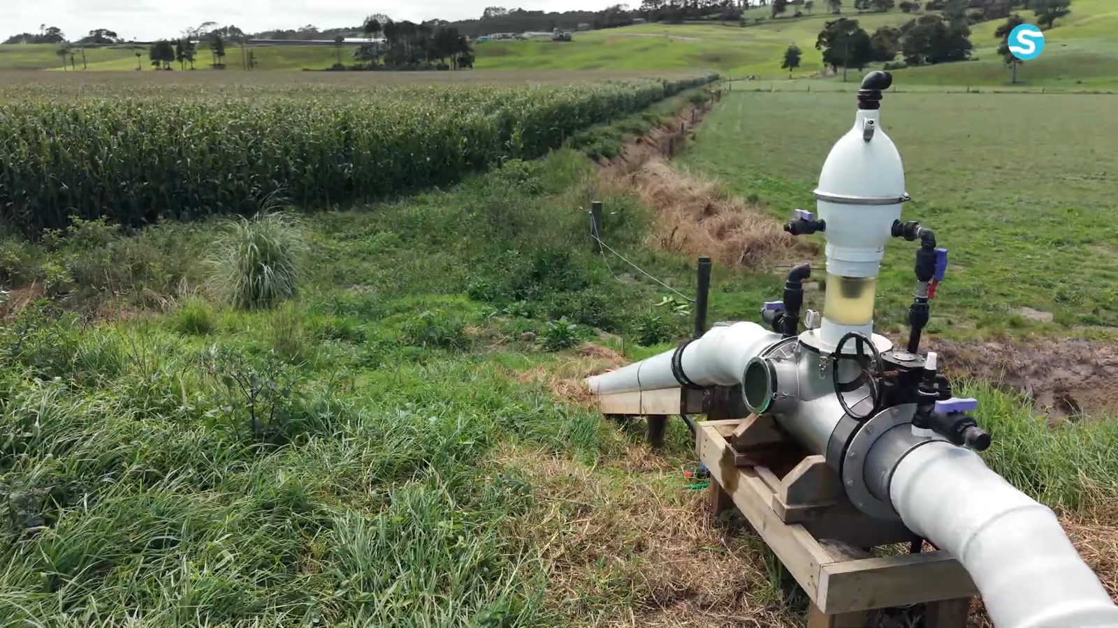
Installed Siphonic Transfer Unit manifold and connected pipe beside the Narbey field drain
Play videoStill frame · Narbey installation film

Narbey Farm

When one long drain is doing all the work.

  1. Long drain
    the route carries water away

    The video follows the existing internal drain through working ground.

  2. Stopbank
    higher ground blocks the fall

    Reclaimed land sits behind the river stopbank.

  3. Low tide
    the receiving window moves

    The design uses the river’s lower level while the tide allows it.